Feedback closed Monday 12 December 2022.

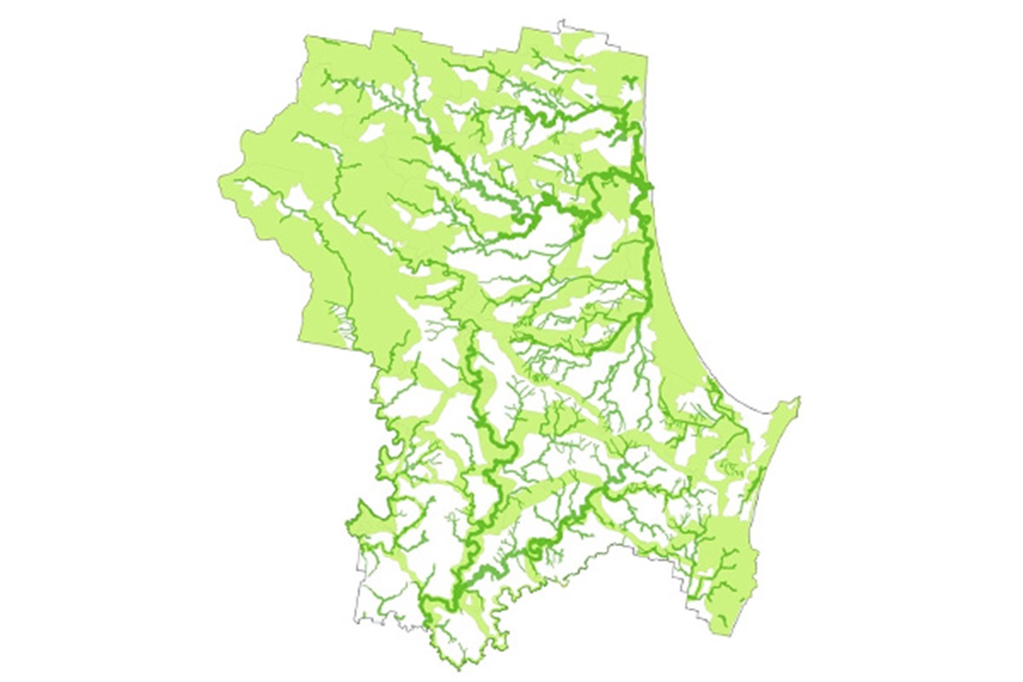
We are developing a wildlife corridor system for Byron Shire to give our plants and animals the best chance to survive and thrive into the future.
In late 2022 we consulted with the community on this proposal.
All feedback was reported to Council at 7 December 2023 planning meeting, along with a report to amend Byron Development Control Plan DCP 2014 Biodiversity and Tree Management chapters to reflect the mapping.
Council's decision was to adopt the Wildlife Corridor Mapping 2023 and to progress amending controls in Byron DCP 2014.
Take a look at the Wildlife Corridor Mapping layer on our online mapping tool to see where the corridors run or if you live in a wildlife corridor.
What is a wildlife corridor?
A wildlife corridor is an area that links habitats, creating a pathway for native animals to move through. These links keep plant and animal populations connected, so that they can breed, migrate, disperse seeds, and seek safety.
To give our plants and animals the best chance of thriving into the future, it’s important to know where they live and travel.